Penarth Dock, South Wales - 150 years - the heritage and legacy  
Penarth Dock, South Wales - the heritage & legacy . . .

Volume Five - The Age of Decline & Crass Stupidity - Some fools had cunning plans! . . .

Plan of Penarth Dock showing the 'other' subway location.
The O.S. 1915 map, [010] showing the path from the top of the escarpment at 'A' close by the Royal Public House, down the path to 'B', where the tipping offices were situated. Our route to work on the docks continues down the steps into the subway, the walk underneath the sidings preferable to being crushed between shunted coal wagons, then onto the dockside at 'C' between coal tip, numbers 8 and 9.
 
The 'other' subway at Penarth Dock

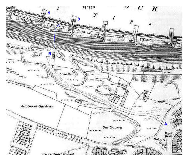
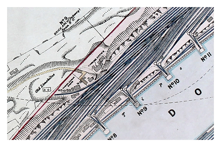
This subway was the way home for many weary dock workers after a hard days hobbling back to the Bowery district of Penarth. The subway entrance was down the flight of stone steps which are indicated on the map, with its Victorian stone arch of local red Radyr stone and white porcelain tiled walls and was about 50 metres in length. The entire structure was filled in during the early 1970’s to my best knowledge as the lower image of Mr. Ben Salter only too well illustrates. [069]

The subway was under construction in 1883 when a mason was struck by a crane which collapsed and was killed. He was dressing Radyr stone at the dock end of the subway for the steps and archway. The newspaper article may be seen within the 1880's newspaper articles section in Chapter 1.

 
Plan of subway Penarth Dock - GWR plan of the Penarth Dock and Harbour of 1928
A section of the GWR plan of the Penarth Dock and Harbour of 1928 which is held at the Swindon & Wiltshire Archives which shows the subway in-place at that date. 'No 9 Brick Arch - Subway' has a span of 9' - 0" (2,74 m). It also shows clearly the location of the Old Limekilns, the Wagon Repair Shops and the Tipping Office. [252]
© 2014 - 2025 - penarth-dock.org.uk - all rights reserved - web design by Dai the Rat