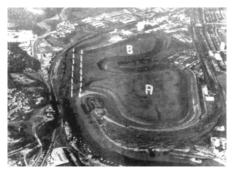
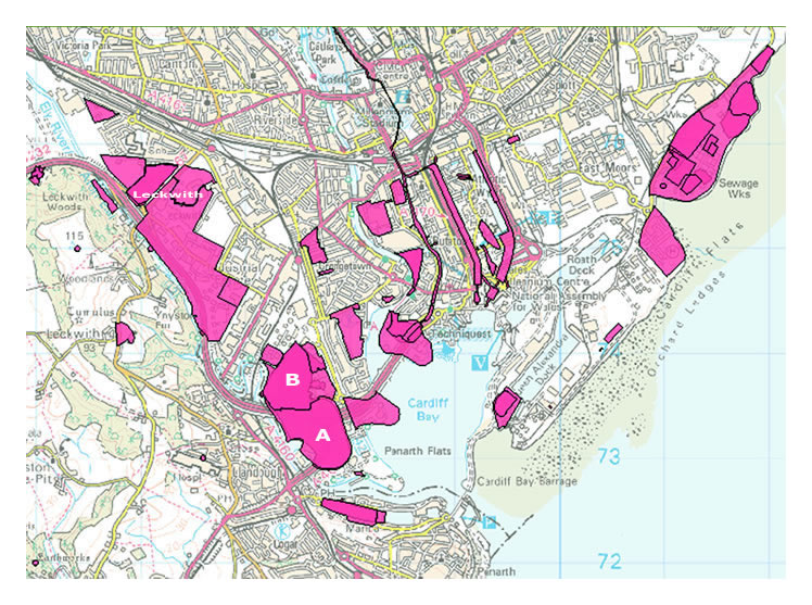
The lower map, [112] published by the Environment Agency in 2014 charts, in pink, the location and extent of the local historic landfill sites commencing at the extensive Leckwith Road sites from the period 1956 until 1974. I added the "A", "B" and "Leckwith" to the map in white to assist identification of the sites. The River Ely runs parallel to this site. 'None of the sites are active today' according to the Environment Agency. If this statement is true, why is there a methane gas flaring-off plant and a condensate lagoon above the former Penarth Dock? Maybe someone needs to look up the meaning of the word 'active' in the Oxford English Dictionary.