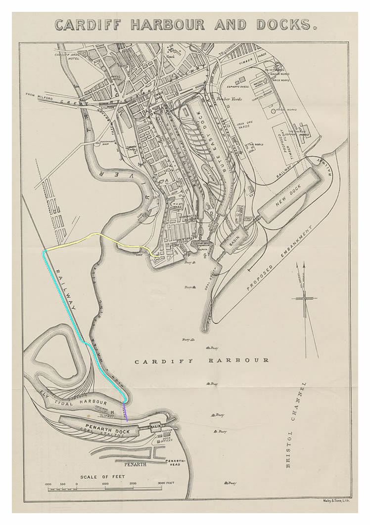
William Turner's 1882 map of Cardiff Harbour and Docks. The route in yellow has been established as completed in 1866 and commences at the swing bridge over the Glamorganshire Canal, and continues across the Taff swing bridge, terminating at the Taff Vale railway line nearby the Grangetown Iron Works.
From thereon the roadway is indicated in dotted lines only and follows the path indicated in light blue. The pedestrian subway below the River Ely is not yet constructed (opened 1900), hence, the ferry crossing to the Penarth Dock route is shown in mauve. [531]