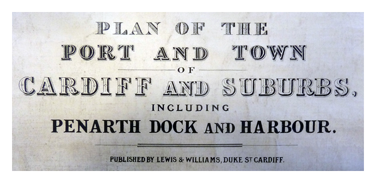
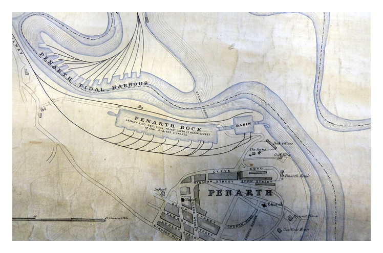
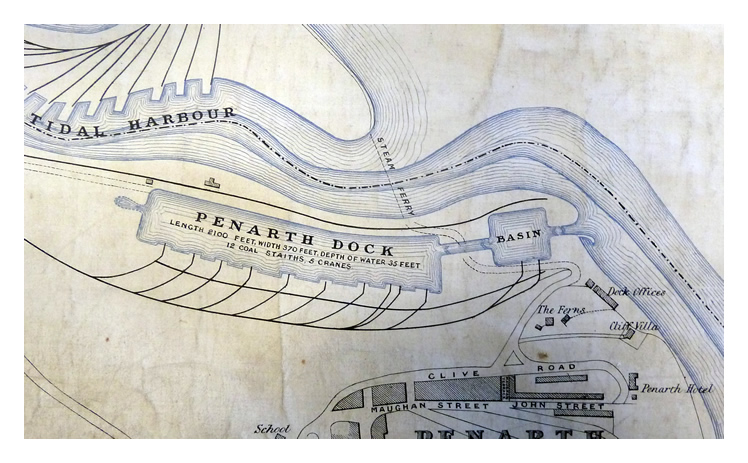
The lower part of the the 'Plan of the Port and Town of Cardiff and Suburbs, including Penarth Dock and Harbour. Published by Lewis & Williams, Duke St., Cardiff.' The Glamorgan Archive dates this map as 1864 but the 'Dock Offices' were not even put out for tender until February 1867 and hence this map was probably surveyed sometime later. Note the route indicated of the steam ferry route across the River Ely to Grange Point. The road winds its way down the escarpment from 'Dagger Town' and traverses the lock between the basin and the main dock via the swing bridge.
[599] [archive ref : DDB-4-6] [20171020]