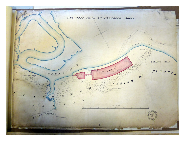
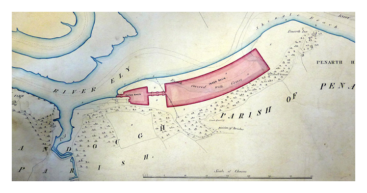
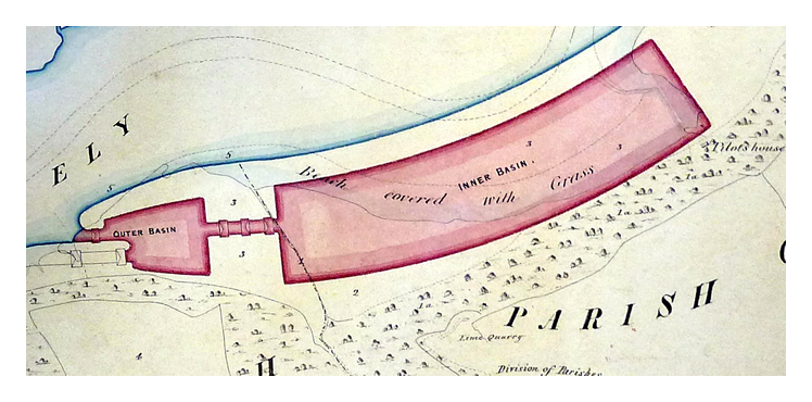
The Enlarged Plan of the Proposed Ely Dock, the entrance of which was about 10 chains, or 220 yards, (c.200 m) downstream from the Cogan Pill. The land is described as
'Beach covered with Grass'. Reference to the accompanying survey document provides further information that at
'3' on the Plan, being the area upon which the inner and outer basins are situated, is described as
'Marsh Sand and Stream' and that the Owner or Occupier is no less than
'The Right Honourable Robert Henry Clive and Lady Harriet Clive his wife and their Trustees'. The shore of the adjacent River Ely is described as
'Mud land' and assigned identical ownership. The Pilot's House and a Limestone Quarry are indicated on the wooded escarpment at the rear of the docks. Penarth at this date was a hamlet ; even twenty years later there were only about 300 residents! The plan forms part of a collection of documents from the Glamorgan Court of Quarter Sessions in the period 1719-1971.
[Glamorgan Archives Reference : Q/D/P69] - [599]