Penarth Dock, South Wales - 150 years - the heritage and legacy  
Penarth Dock, South Wales - the heritage & legacy . . .
Volume Twelve - Pre-Victorian to the Present Day - further aspects - Aerial Views - 1946 to 1981 . . .
3rd June 1950 - The east end of the Dock with Basin and the trumpet shaped piers welcoming weary mariners to Penarth!

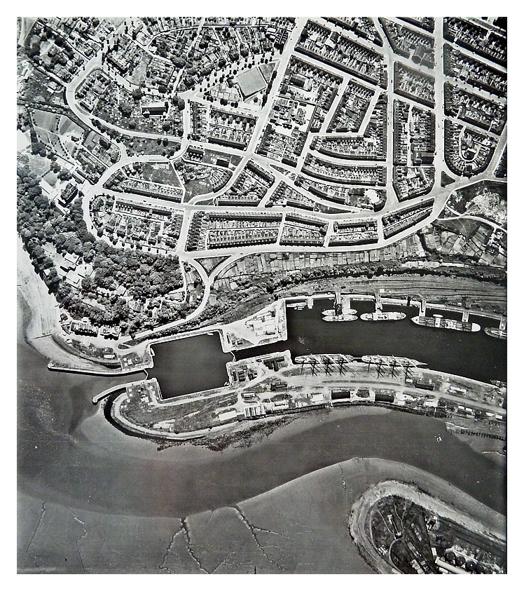
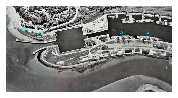
3rd June 1950 - Image 5300 with enlargement - The east end of the Dock with Basin and the trumpet shaped piers welcoming weary mariners to Penarth! The Marina extents are approx. as shown in the enlargement.

[A] Passat [B] Pamir
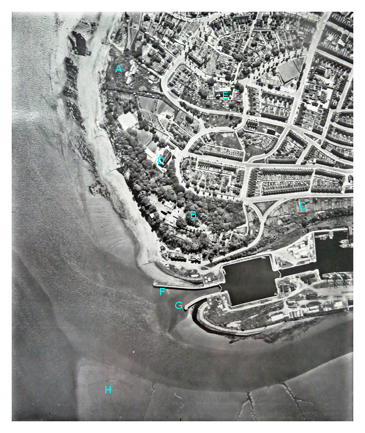
[C] Mercantile Marine Offices of the Board of Trade, which are sometimes confusingly referred to as the Dock Offices plus the Marine Hotel a former Public House.
[D] Boat buildings sheds and former lifeboat station building.
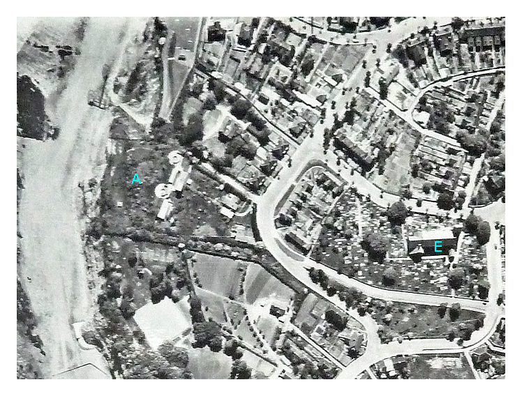
[E] The Customs House formerly including the Penarth Dock Company Offices.

The image is credited to the Welsh Office. [1294]  [1292]

 
3rd June 1950  - The Penarth Head with the Penarth Dock entrance sheltered below.

3rd June 1950 - Image 5301 - The Penarth Head with the Penarth Dock entrance sheltered below.

[A] - Penarth Head Fort and Coastal Battery with Searchlight Emplacements below on the beach.
[B] - Northcliffe House.
[C] - Allotment Gardens.
[D] - Former Penarth Hotel of the TVR at this date the J. A. Gibb's Memorial Home otherwise the 'National Training Home - Trustees of the National Children's Home and Orphanage.'
[E] - St. Augustine's Church.
[F] - 'Pier' (or South Pier) as per the OS map Revised: 1947, Published: ca. 1949.
[G] - 'Jetty' (or North Pier) as per the OS map Revised: 1947, Published: ca. 1949.
[H] - The Patch.

The image is credited to the Welsh Office. [1294]  [1292]

 
© 2014 - 2025 - penarth-dock.org.uk - all rights reserved - web design by Dai the Rat