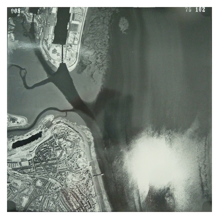
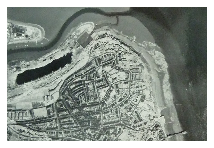
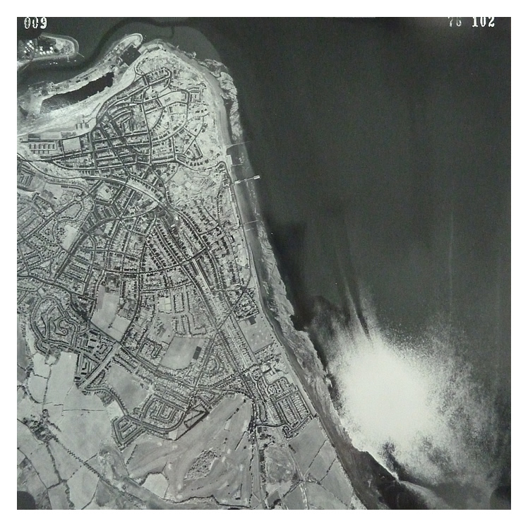
28th June 1976 - Image 008 - High level views over Penarth Dock and the town. Note the extent of the uncontrolled tipping at the northern quayside of the Penarth Dock. However, this also includes, by this date, only about 111 years of silt and the water level in the dock has been reduced! Also, note Penarth Pier, and just north of which there appears to be effluent being discharged into the sea and travelling with the outbound tide towards all those lovely children paddling on the beach! The image is credited to the Ordnance Survey. [010] [1292] |