Penarth Dock, South Wales - the heritage & legacy . . .
Volume Twelve - Pre-Victorian to the Present Day - further aspects - Aerial Views - 1946 to 1981 . . .
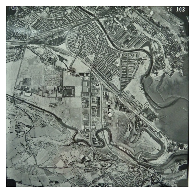
28th June 1976 - Image 030 - Another high level view showing Penarth, the Leckwith Moors, plus Grangetown to Cardiff. The enlargement shows the straightening change of route of the meandering River Ely [A] and the commencement of the household waste tips at [B] and [C] which filled the entire bend in the river at the Ferry Road end. So sad! The Grangetown Gas Works is visible at [D]. The image is credited to the Ordnance Survey. [010][1292]
28th June 1976 - Image 031 - Another high level view moving south from Penarth and Cogan towards Eastbrook and Dinas Powis. The extent of the amendment to the course and re-purposing of part of the River Ely is now even more pronounced. The image is credited to the Ordnance Survey. [010][1292]
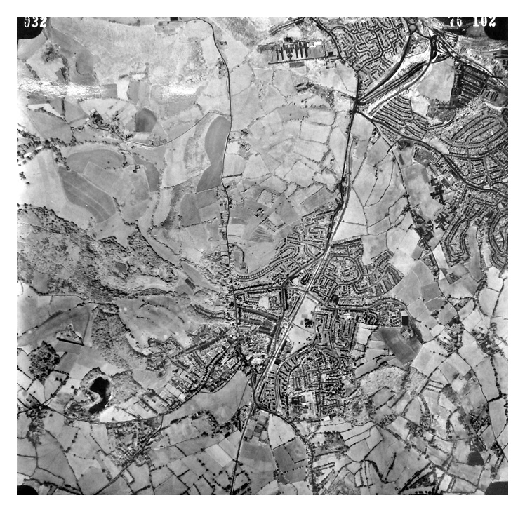
28th June 1976 - Image 032 - Gaining height, this even higher view encompasses part of south Penarth, Cogan, Llandough Hospital and Dinas Powis as well as Michaelston-le-Pit (Llanfihangel-y-pwll). The image is credited to the Ordnance Survey. [010][1292]