Penarth Dock, South Wales - the heritage & legacy . . .
Volume Twelve - Pre-Victorian to the Present Day - further aspects - My Trip to Flat Holm - 2024 . . .
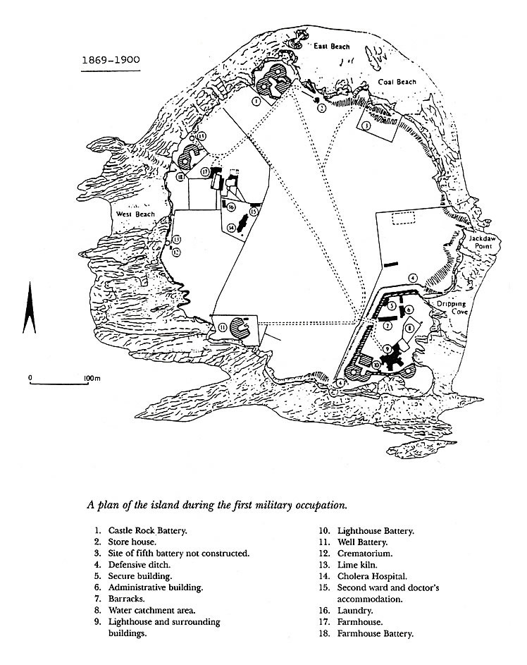
1869-1900 - A plan of Flat Holm during the first military occupation. - A plan borrowed from 'Flat Holm Island' by Mr. Bob Jory and Friends. [1317]
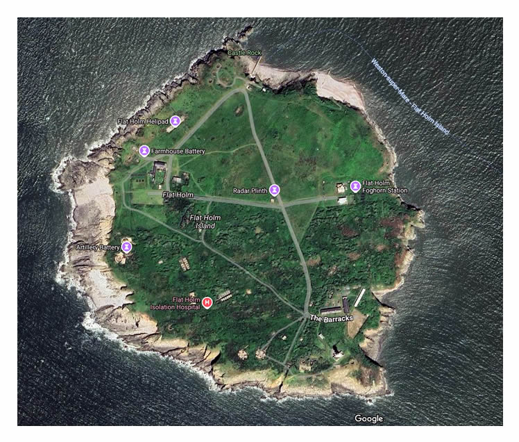
A google earth [110] view of Flat Holm. The island is predominantly of limestone and is situated within the Bristol Channel approximately 4 miles off Lavernock Point and claims to be the most southerly point of Wales. [001]
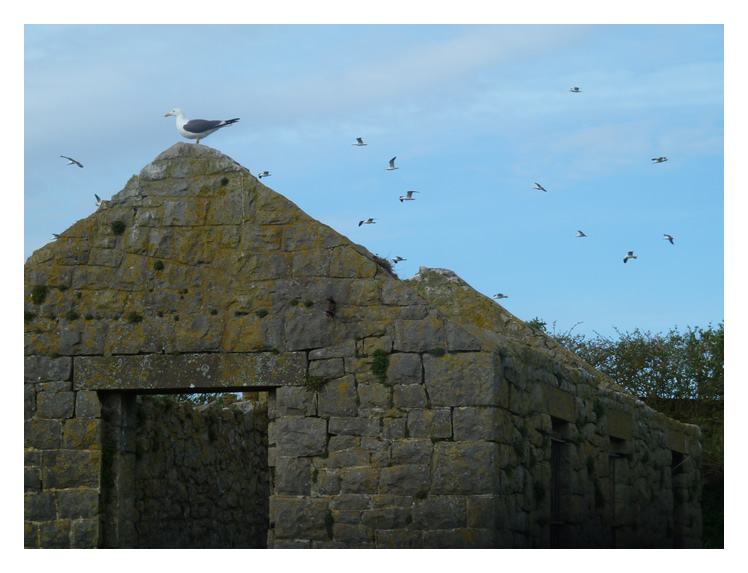
The secure building near the barracks - Another hazard is the gull population which frequent the island. We used to call them 'shitehawks' when I worked at Penarth Dock Engineering! We were warned that in the nesting season it could be somewhat perilous for mere human beings to even approach nesting birds and some of the pathways on the island were designated as no-go areas to protect the birds! [001]