|
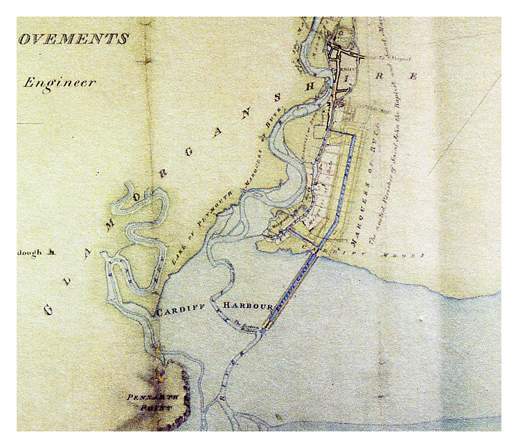 |
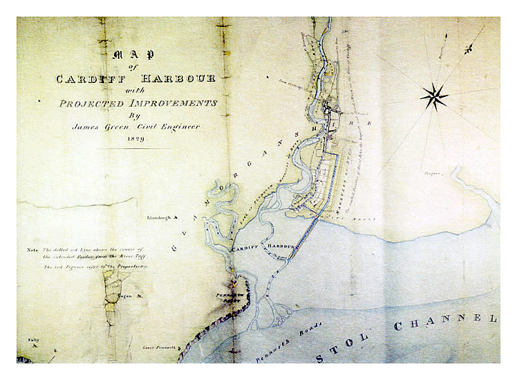
| 1829 - Map of Cardiff Harbour with Projected Improvements by James Green, Civil Engineer, 1829. The scheme proposed a dock on the Cardiff Moors with an extension canal out into the muds complete with a sea lock which entered the course of the River Taff. This route provided the deepest water for vessels. The map is a postcard held within the Penarth Dock Collection and was published by 'The Parliamentary Archives and Parliamentary Outreach working in partnership with Glamorgan Archives.' [599] [001] |
|
|
