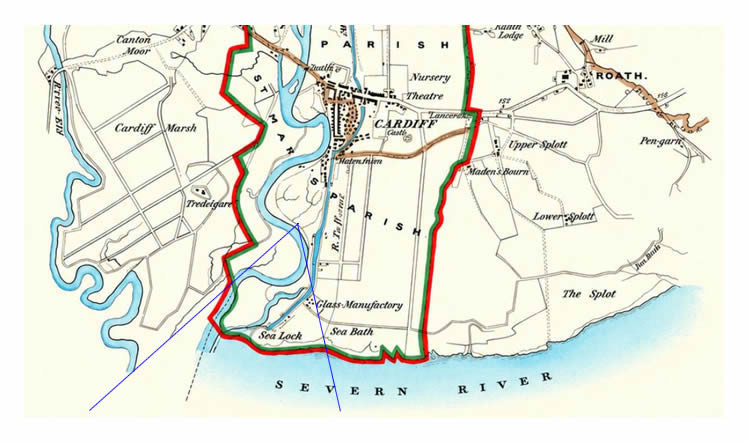
1832 - Robert Kearsley Dawson [1798-1861], also of the Ordnance Survey, was appointed to produce accurate maps showing both the existing and proposed changes to the parliamentary boundaries. These maps were initially published in Reports from Commissioners on proposed divisions of Counties and boundaries of boroughs, in 1832, but were then republished together as Plans of the Cities and Boroughs of England and Wales in the same year. The green boundary line indicates the 'Old Borough' boundary whilst the red shows the proposed changes under the Parliamentary Boundaries Act of 1832. St. Mary's Parish is clearly defined on the map.
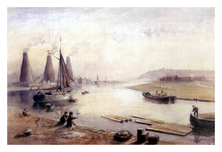
The blue lines suggest the location and approximate view of the artist who produced the above heritage record of the lower end of the Sea Lock pound at Cardiff at around the same date. |